Σάββατο, 16 Νοεμβρίου, 2024
14.1 C
Athens
HomeTravel News100 ασυναγώνιστες φωτογραφίες του κόσμου απο drone (μέρος Β)

100 ασυναγώνιστες φωτογραφίες του κόσμου απο drone (μέρος Β)

Η τεχνολογία είναι ένα μέσο που μας κάνει πιο εύκολη την ζωή και πολλές φορές, μας βοηθά να αποτυπώνουμε τις στιγμές…

Ένα απο αυτά τα επιτεύματα της τεχνολογίας είνα τα γνωστά σε όλους drones. Με την βοήθειά τους θα δούμε εικόνες απο όλο τον κόσμο που ίσως να μην μπορούσαμε παλαιότερα.

Δείτε παρακάτω τις φωτογραφίες:

- Advertisement -

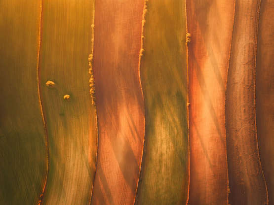
Διαφάνεια 26 από 100: *Full story: https://www.rexfeatures.com/nanolink/tc4e A photographer used a drone to capture these stunning images of patterned landscapes from the sky which show the vivid colours of fields below. Javier del Cerro, 21, flew the unmanned aircraft almost 400 feet above the Spanish countryside to highlight its hidden beauty. The landscape photographer, who currently lives in Madrid, took pictures of various adjoining fields in and around his former home city of Toledo, Spain, which includes land containing pine trees and pea plants. It shows how the land is divided up by farmers - some in perfect lines, and others in more of a curved formation.

Διαφάνεια 27 από 100

Διαφάνεια 28 από 100

Διαφάνεια 29 από 100

Διαφάνεια 30 από 100

Διαφάνεια 31 από 100

Διαφάνεια 32 από 100

10 tips για «καθαρές» διακοπές

Διαφάνεια 33 από 100

Διαφάνεια 34 από 100

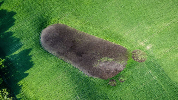
Διαφάνεια 35 από 100: Aerial drone captures giant footprint, Denmark - 04 Jun 2016 What appears to be a giant footprint captured by drone photography in a forest in Denmark

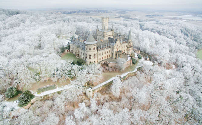
Διαφάνεια 36 από 100: TOPSHOT - Aerial view taken on January 18, 2017 with a drone shows the Marienburg Castle near Pattensen, northern Germany, standing amidst a snow-covered forest. / AFP / dpa / Julian Stratenschulte / Germany OUT (Photo credit should read JULIAN STRATENSCHULTE/AFP/Getty Images)

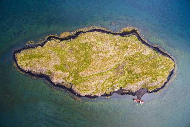
Διαφάνεια 37 από 100: Incredible drone photos of Iceland - Aug 2015 Álftafjörður, Iceland

Διαφάνεια 38 από 100

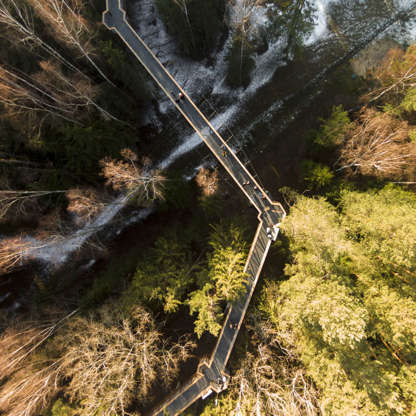
Διαφάνεια 39 από 100: Labyrinth and maze drone pictures, Lithuania - 2016 Treetops path in Anyksciai, Lithuania

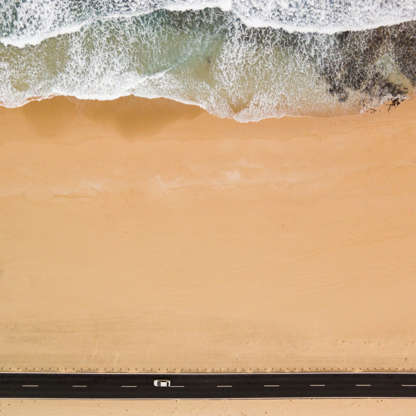
Διαφάνεια 40 από 100: Aerial images of surfers in Fuerteventura, Canary Islands - Feb 2016 A drone image of a coastal road in Corralejo, Fuerteventura

Διαφάνεια 41 από 100

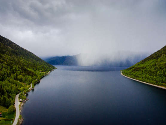
Διαφάνεια 42 από 100: Part of the Lake Tinn in Rjukan, surrounded by mountains. The water is calm and the fog is falling over the lake. The photo was taken from a high angle view using a drone. Lake Tinn is one of the largest lakes in Norway. It is situated between the munic

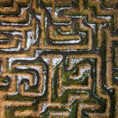
Διαφάνεια 43 από 100: Labyrinth and maze drone pictures, Lithuania - 2016 Maze in Anyksciai, Lithuania

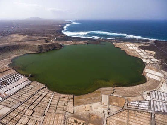
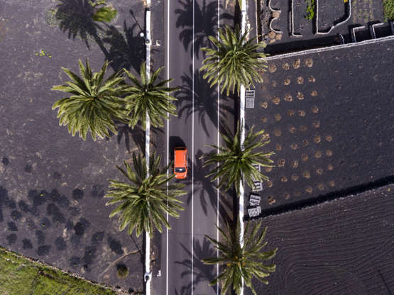
Διαφάνεια 44 από 100: Much of Lanzarote has been shaped by devastating volcanic eruptions during the 18th century, leaving behind a lunar type landscape, black beaches and locations such as the Timanfaya National Park, which is home to an active volcano that gives the park its name.

H Ελλάδα στη λίστα με τα 20 νησιά με το καλύτερο φαγητό στον κόσμο

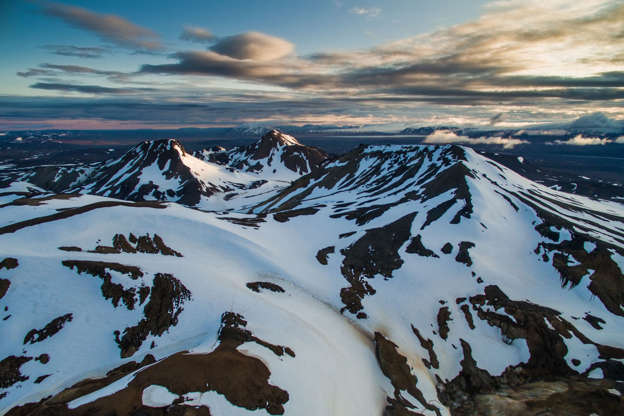
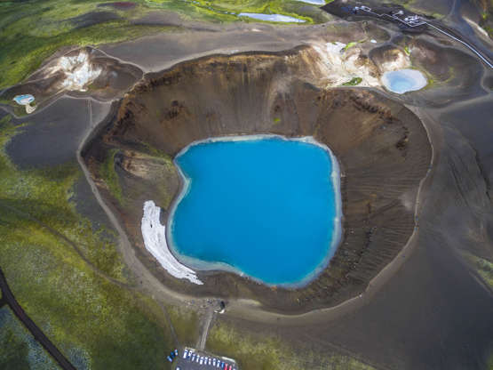
Διαφάνεια 45 από 100: Incredible drone photos of Iceland - Aug 2015 Kerlingarfjöll, Iceland

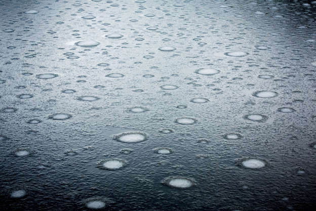
Διαφάνεια 46 από 100: Incredible drone photos of a Pakistan glacier - Jul 2015 Freezing lake on the surface of the Baltoro Glacier.

Διαφάνεια 47 από 100: Iceland by drone, Iceland - Aug 2015 Krafla Viti

Διαφάνεια 48 από 100: Much of Lanzarote has been shaped by devastating volcanic eruptions during the 18th century, leaving behind a lunar type landscape, black beaches and locations such as the Timanfaya National Park, which is home to an active volcano that gives the park its name.

Διαφάνεια 49 από 100

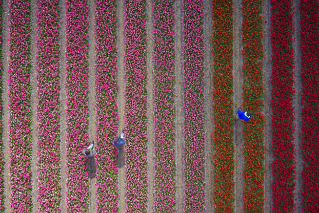
Διαφάνεια 50 από 100: A photographer has shot a series of stunning aerial photographs of the tulip fields in the Netherlands using a drone. The photos reveal striped fields of red, yellow, purple, black and blue tulips. Meanwhile, large areas of hyacinths can be seen draped around the surrounding areas. Swedish-based photographer Anders Andersson, 42, said: "My idea was to create abstract patterns of colour, something like the Dutch artist Mondrian did with a paint brush." Anders used Google Earth to scan the Netherlands in order to find the right location to shoot the Tulip Field series. He settled on the 'tulip-mania district' near Sassenheim, Netherlands. He had to time the project carefully to ensure the flowers were in full-bloom, whilst ensuring they had not yet been cut and sold. Anders subscribed to a Dutch tulip newsletters and anxiously waited for the right moment.

δείτε το: 100 ασυναγώνιστες φωτογραφίες του κόσμου απο drone (μέρος Γ)

πηγή: msn.com

Τελευταία Άρθρα

Follow us

110,133LikesLike
88,987 FollowersFollow
180,000SubscribersΕγγραφή
ΔΕΙΤΕ ΕΠΙΣΗΣ